Hike Route: Wilderness Creek Trail > Wilderness Cliffs Trail > Wilderness Peak Trail > rejoin Wilderness Creek Trail back toward the trailhead parking lot
I did this hike fairly early in the morning since Seattle is having very hot weather right now. The hike is basically a lollipop route with using the three Wilderness trails. My favorite route is to travel counter clockwise -up- the Wilderness Cliff trail.
The hike starts on the Wilderness Creek Trail from the Wilderness Creek Trailhead (elev. 395 ft) off of the SR900 (the Renton-Issaquah Road). There is a parking lot for about 12 cars, there is also an alternate trailhead located here.
The wilderness creek trail is a great "northwest" hike with lots of running creeks, greenery and small spring time flowers -- and the occasional point of interest along the way.
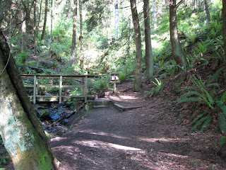 The trail is fairly wide, but mostly single file -- its well travelled and very well maintained. This one trail serves most of the Cougar Mountain trail system from the south -- so its popular on the weekends. The first part of this hike is pretty much all uphill, with several switchbacks.
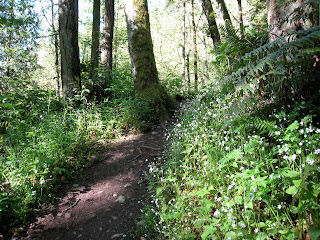 Upon reaching the first intersection, make a RIGHT toward Sqauk Mtn Connector trail.
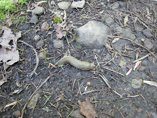
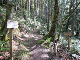 After about 0.1 mile, there is a LEFT turn up on to the Wildnerness Cliffs trail. The trail was about 98% dry, with some muddy areas -- but nothing too wet. The Slugs were out in force on the day I did the hike.
This trail is fairly un-used as its a bit off to the side of most of the other trails. The trail is a bit more narrow and more "remote" than others on the Mountain.
There are a couple viewpoints along the way as you start to reach Wilderness Peak. The views are very filtered through evergreen trees.
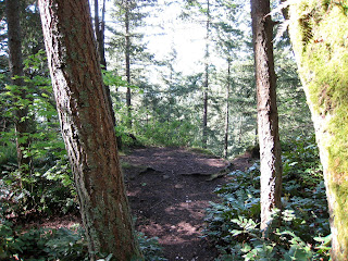 As you reach the top of Wilderness Peak, you enter a very nice area with lots of birds and critters running around. There is also a very short trail leading to the top of Wilderness Peak (elevation 1,595 feet). However, there is no real view from here. The Cliffs trail technically ends here and the Wilderness Peak Trail starts.
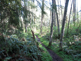 The Peak trail then continues downhill back toward Wilderness Creek Trail. Its much more enjoyable to travel down this side of the trail, otherwise it would be a fairly steep constant uphill trip.
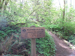 Rejoin the popular Wilderness Creek Trail (elev. 1380 ft) and head back to the trailhead. There are other routes within Cougar Mountain from this point -- including hikes to Far Country Lookout and one of the Mine Shafts in the area.
All trails are 98% dry at this point, lots of small wildflowers are out in bloom. This is a great Spring and Summer hike for most folks.
Location:
View Larger Map
Basics:
Area - Cougar Mountain Regional Wildland Park (Near Issaquah,Washington)
Trails - Trail Map (very good), also trails located on Green Trails Map 203S
Length - 3.6 miles out and back - Easy Hike (moderate uphill on first 1.5 miles)
Trail - Loop, dirt trail, limited stops along the way. Well marked and maintained. Elevation gain is about 1200 feet.
Bikes - Not allowed on this hike
View - View filtered views through the trees at viewpoints
Getting There - Google Map
Fee- None, free parking
Weather - Cool in the mornings
Other Trails - tons! Including this hike: Far Country Lookout